Vegetation Surveys
& Mapping
Sensitive, Threatened & At-Risk Plant Species
Experienced in conducting targeted surveys for hundreds of rare plant species across the intermountain west and desert southwest in compliance with local and federal government agency guidelines:
- Implementation of survey protocols in NEPA/ESA compliance for BLM special status plant species
- Evaluation of sensitive plant species within USDA Forest Service lands
- Nevada Division of Natural Heritage native species site survey protocols and data collection
- Rare plant habitat suitability desktop analyses
- Targeted, on-the-ground rare and sensitive species surveys
- Rare plant habitat and occurrence mapping
- Long-term monitoring of rare plant population distribution and demographics

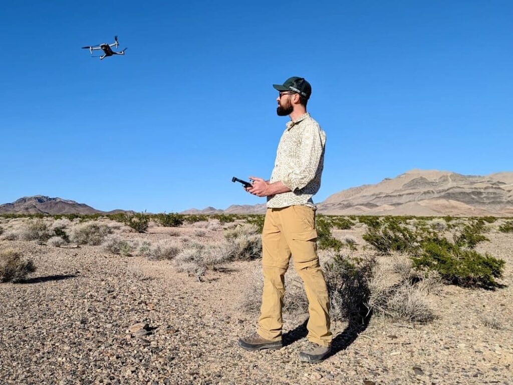
Drone Surveys
Some complex or large surveys may be suited to employing drones to complement desktop and on-the-ground analyses. With an FAA Part 107 certification, Silver Sage Eco has the capability to implement field-based aerial surveys as a tool to enhance or expedite other field efforts, including ground-truthing of rare plant habitat, reaching hard-to-access areas, and discovery of noxious weed populations.
Drones can also be used to conduct vegetation community surveys that may contain a complex mosaic of different habitat types within large project areas to confirm desktop and field survey findings.
Follow us on Youtube
Noxious & Invasive Weeds
Arid environments are often characterized by environmental extremes, including water availability, soil chemistry, and large temperature fluctuations, making them particularly vulnerable to the negative effects of invasive plant species. In the arid west, impacts of noxious weeds include the displacement of native species, altered ecosystem structure and function, soil degradation, increased fire risk, and health and safety concerns.


We offer comprehensive noxious weed surveys including:
- State Department of Agriculture listed noxious weeds
- USDA Forest service listed noxious weeds
- Desktop mapping of noxious and invasive weed populations
- Noxious and invasive weed field surveys
- Recommendations for weed management


Common noxious weed species:

Musk thistle
(Carduus nutans)
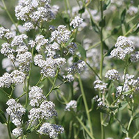
Perennial pepperweed
(Lepidium latifolium)
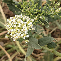
Hoary cress
(Cardaria draba)
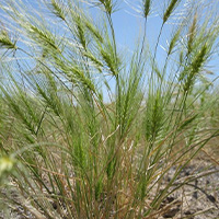
Medusahead
(Taeniatherum caput-medusae)
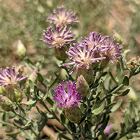
Russian knapweed
(Acroptilon repens)

Salt cedar
(Tamarix spp.)

Vegetation Community Mapping & Comprehensive Floristic Inventories
Identification and delineation of various vegetation communities within a larger project area may often be requested as part of a baseline biology survey to support analysis under the National Environmental Policy Act (NEPA).
Silver Sage Eco employs a variety of approaches to accomplish these surveys, including remote sensing, on-the-ground surveys, and drone surveys.
Along with vegetation community mapping activities, we also offer comprehensive floristic inventories to ensure all species present within a survey area are identified and accounted for to accurately measure biodiversity.
Assessment, Inventory & Monitoring (AIM)
A critical framework and program used by the Bureau of Land Management, AIM is a quantitative approach designed to improve the effectiveness, efficiency, and consistency of how an individual may inventory and monitor the condition of lands and their resources.
The AIM approach emphasizes rigorous data collection methods, standardized protocols, and the use of technology to improve accuracy and consistency when evaluating the condition and trend of various ecological, social, and economic components across landscapes.


AIM survey techniques may be useful when there is a need to conduct long-term monitoring of plant populations and wildlife habitat evaluations within project areas, and include:
- Line-point intercept measurements of vegetative cover and height
- Quantification of abiotic ground cover components
- Canopy gap measurements
- Density measurements (using Daubenmire frames or belt transect)
- Yearly records of species present within survey areas
- Survey areas may be monumented for accurate revisit data collection in subsequent years

