Habitat Surveys, Assessment
& Monitoring
Baseline Biological Surveys
Baseline biological surveys are comprehensive studies conducted in a specific area or habitat to establish a fundamental understanding of the existing biodiversity and ecological conditions.
These surveys involve systematically documenting the types and abundance of flora and fauna, assessing habitat characteristics, and collecting data on environmental factors.
The purpose is to establish a starting point against which future changes and impacts can be measured, aiding in conservation, management, and monitoring efforts. These surveys typically encompass a range of scientific methods such as visual observations, trapping, sampling, and other data collection techniques to provide a holistic overview of the biological resources in the surveyed area.


Rare Plant Habitat Evaluation & Mapping
Desktop analyses using geospatial software to determine potential habitat for rare and sensitive plant species are often required before field surveys can be conducted. Silver Sage Eco uses geologic, soil, vegetation community, hydrologic, fire and climate data to target areas where rare species have the highest potential to occur, streamlining field survey efforts.

Sage-Grouse Habitat Assessments
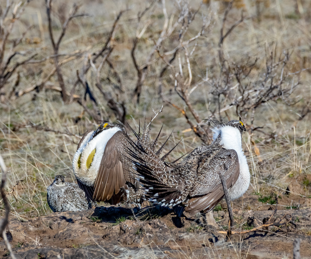
The Habitat Assessment Framework (HAF) is a comprehensive approach used to assess and manage the habitat of the greater sage-grouse. The framework involves evaluating various factors that affect the quality of habitat for the sage-grouse, with the aim of conserving and restoring their populations and habitats.
These assessments often incorporate biological, ecological, and anthropogenic considerations, aiming to balance conservation efforts with sustainable land use and development. HAF surveys may be required as a component of some baseline biological surveys or larger land assessments. A suite of measurements are recorded that are then evaluated comprehensively to determine the suitability of the habitat to support sage-grouse populations:
- Seasonal habitat data
- Breeding habitat data
- Vegetation cover and height
- Forb diversity and desirability
Conservation Credit System Certified Verifiers
Administered by the Sagebrush Ecosystem Technical Team, the Nevada Conservation Credit System (CCS) is an innovative approach to greater sage-grouse habitat protection that ensures habitat impacts from human-made disturbances are fully compensated by long-term enhancement and protection of habitat.
The goal is to contribute to an overall benefit for the species, while allowing for appropriate anthropogenic disturbances that are vital to economic development and the Nevada way of life.
Silver Sage Eco is state-certified to conduct both the desktop and field components of the credit and/or debit analyses needed to participate in the CCS program.

Wildlife Surveys
Silver Sage Eco has experience conducting targeted wildlife surveys that may contribute to larger biological baseline surveys or land assessments:
Western Burrowing Owl Habitat & Presence
Surveys for the presence of western burrowing owls are often required as a component of larger land assessments.
Techniques include detecting the species through call and response surveys at regularly
distributed locations across potential nesting grounds and delineation of burrow complexes.
Silver Sage Eco has experience conducting these surveys, and have been trained in the techniques outlined by the Nevada BLM that are implemented by various districts across Nevada.


Desert Tortoise Clearance
A component of desert tortoise clearance surveys involves locating tortoises and their burrows in areas slated for development, mining, or other land-use projects in the Mojave and Sonoran Desert. The surveys comprise systematic searching and monitoring of designated project sites to ensure the protection of this threatened species and compliance with regulatory requirements.
Silver Sage Eco has completed the Introduction to the Mojave Desert Tortoise course conducted by the Desert Tortoise Council, and has assisted on clearance surveys in the Sonoran Desert.
Interpreting Indicators of Rangeland Health (IIRH)
Interpreting Indicators of Rangeland Health (IIRH) surveys involve qualitative and quantitative assessments of various ecological, physical, and biological indicators to gauge the overall condition and functioning of a rangeland ecosystem.
Monitoring and analyzing these indicators provide valuable insights into the state of the rangeland and help develop strategies for its conservation and effective management. Attributes of rangeland health measured using these techniques include:
- Soil/site stability
- Hydrologic function
- Biotic integrity

Long-term Monitoring of Restoration & Reclamation Efforts
Many habitat assessment methods are suited for repeated survey efforts over time when long-term monitoring of landscapes is needed to understand the changing nature and state of natural resources present. Methods like Assessment, Inventory and Monitoring (AIM), Habitat Assessment Framework (HAF), and Interpreting Indicators of Rangeland Health (IIRH) can be repeated over time and offer data to better inform responsible land use. Silver Sage Eco has many years’ experience conducting repeated surveys using these techniques at field sites across Nevada, and analyzing the trend data that emerges with multiple site visits to better understand the status of landscapes.
Monitoring of Revegetation Efforts Following Nevada Guidelines for Successful Revegetation (Attachment B for NDEP, BLM & USFS)
To meet reclamation goals after mining disturbance, a Reclaimed Desired Plant Community (RDPC) should be selected for use on disturbed mine sites to stabilize the site and establish a productive community based on the applicable land use plan and designated post-mining land uses. Conducting surveys to quantify vegetation response to reclamation at mine sites and implementing long-term monitoring to assess trends ensures that clients meet revegetation goals and metrics.